C-Map
-
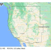
C-MAP Reveal Inland US Lakes West
Cartography - C-MAP Precision $179.00 Add to cartC-Map
Model: M-NA-Y211-MS -
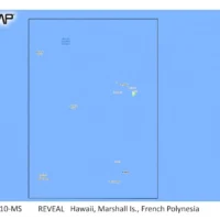
C-MAP Reveal Coastal Hawaii, Marshall Islands and French Polynesia
Cartography - C-MAP Precision $260.00 Add to cartC-Map
Model: M-NA-Y210-MS -
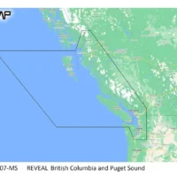
C-MAP Reveal Coastal British Columbia and Puget Sound
Cartography - C-MAP Precision $260.00 Add to cartC-Map
Model: M-NA-Y207-MS -
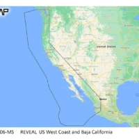
C-MAP Reveal Coastal US West Coast and Baja
Cartography $260.00 Add to cartC-Map
Model: M-NA-Y206-MS -
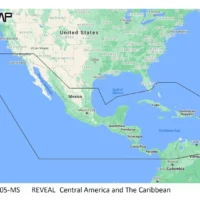
C-MAP Reveal Coastal Central America Caribbean
Cartography - C-MAP Precision $260.00 Add to cartC-Map
Model: M-NA-Y205-MS -
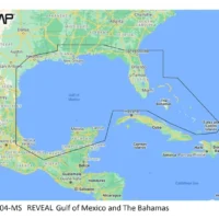
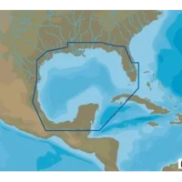
C-MAP Reveal Coastal Gulf of Mexico and Bahamas
Cartography $260.00 Add to cartC-Map
Model: M-NA-Y204-MS -
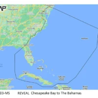
C-MAP Reveal Coastal Chesapeake Bay to the Bahamas
Cartography - C-MAP Precision $260.00 Add to cartC-Map
Model: M-NA-Y203-MS -
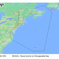
C-MAP Reveal Coastal Nova Scotia to Chesapeak Bay
Cartography - C-MAP Precision $260.00 Add to cartC-Map
Model: M-NA-Y202-MS -
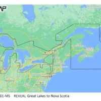
C-MAP Reveal Coastal Great Lakes to Nova Scotia
Cartography - C-MAP Precision $260.00 Add to cartC-Map
Model: M-NA-Y201-MS -
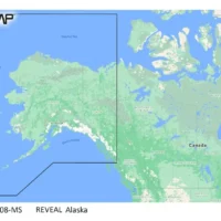
C-MAP NA-Y064 Max N+ microSD Gulf of Mexico
Cartography $339.00 Add to cartC-Map
Model: M-NA-Y064-MS -
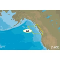
C-MAP NA-Y025 Max N+ microSD C-MAP NA-Y025 Max N+ microSD Puget Sound
Cartography $339.00 Add to cartC-Map
Model: M-NA-Y025-MS -
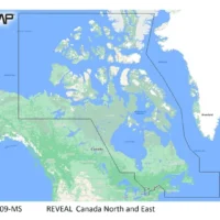
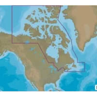
C-MAP NA-M021 Max N+ microSD Canada North And East
Cartography $339.00 Add to cartC-Map
Model: M-NA-Y021-MS -
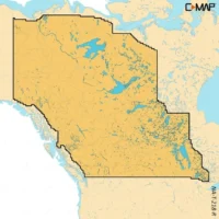
C-MAP Reveal X Inland Canada Lakes West microSD
Cartography - C-MAP Precision $177.00 Add to cartC-Map
Model: M-NA-T-218-R-MS